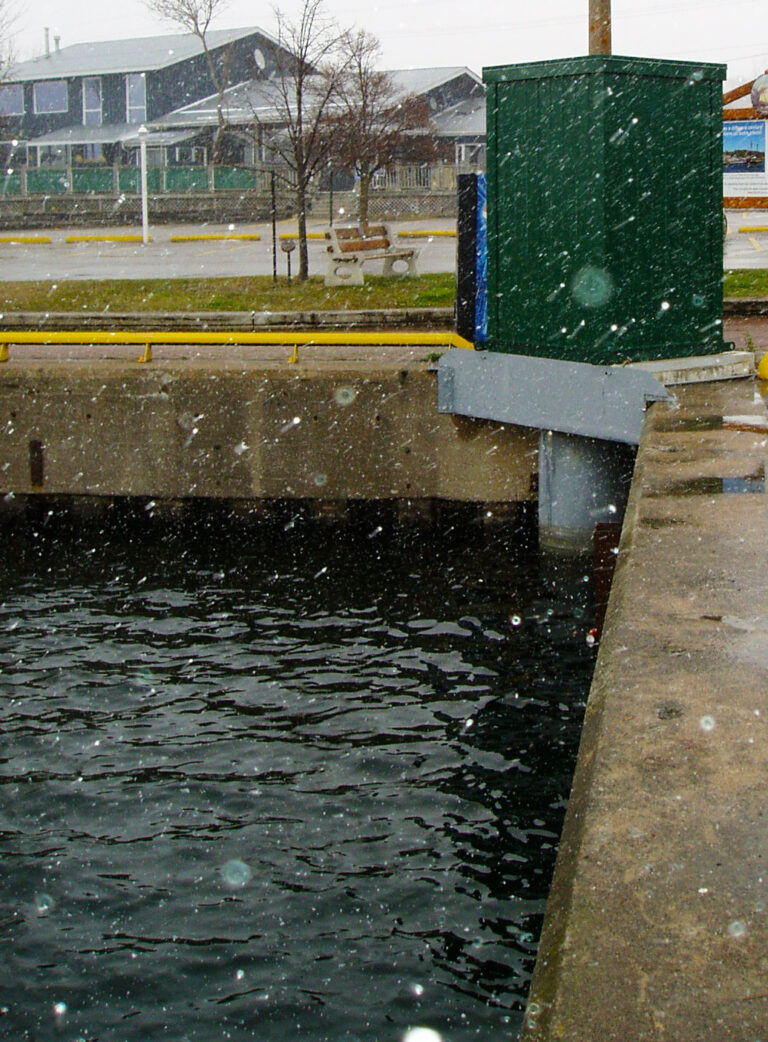
Water Levels
Visit the Canadian Hydrographic Service (CHS) Lake Huron Water Levels website for recent Midland water levels. The latest water level bulletin and forecast from CHS and Fisheries and Oceans Canada is also available here.
The National Oceanic and Atmospheric Administration’s (NOAA)
Great Lake Dashboard allows for interactive visualization of historical water level data. To download long term water level data from the Midland Station (11445) visit CHS’s Station Inventory Data service.
For current ice conditions from the Canadian Ice Service,
click on the most current daily ice chart for the Eastern Great Lakes showing ice concentration or stage of development.
Ice conditions can also be observed from the NOAA’s Great Lakes Moderate Resolution Imaging Spectroradiometer (MODIS) imagery for Lake Huron.

Learn about the Future of Great Lakes water levels – Presentation from Environment and Climate Change Canada to the SSEA Board, January 30, 2023

